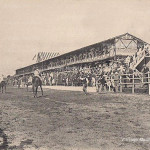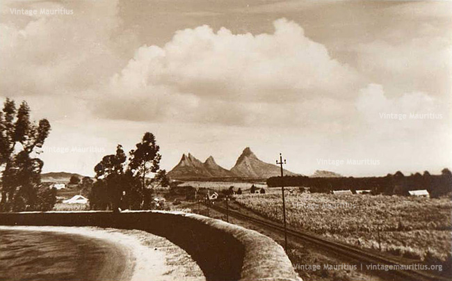
Known as the Swami Sivananda Avenue today, these railway tracks on the right seen from the famous steep curve of Floreal, followed from what was then known as the ‘Midland Line’ for the Mauritius Government Railways whereby starting from Port Louis and ending at Mahebourg and going through the different regions in the middle of the island. From this view, we can still see the Curepipe Road Railway Station further down whilst the railway tracks continued towards Vacoas, the next stop.
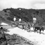
The lands were still much unoccupied in those years, early 1950s, and the Sugar Cane fields dominated much of the view. There is no way today we can still get that same view as many buildings have mushroomed everywhere at this spot. After the dismantlement of the Railways soon after 1964, the Sivananda Avenue, which was the main route towards Port Louis for the transport of Sugar Cane by Train began to be known as the ‘Sugar Road’ due to the fact that without the railways, Sugar Lorries were used for that purpose and this road was their main access. Even today this road is still referred to as the ‘Sugar Road’.
Floreal being on the upper Plaine Wilhems, and the Trou aux Cerfs crater not far from this point, was much known as being the highest point of this region. Even today we can get a breath-taking view of the island from this point.
Click here to locate this spot on Google Maps
Click here to read what people are saying about this image on our facebook page