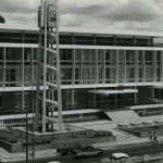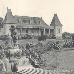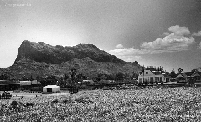
Quatre Bornes – Old Town Hall and Train Station – 1959
Images of Quatre Bornes in the past are among the rare ones that can be seen. Even though the town doesn’t talk much about itself nor there are many interesting places to talk about either, it still remains a very nice region to live in. Found in between Vacoas/Phoenix and Rose Hill, the climate is the ideal one between hot and cold.
In 1721, Wilhem Leicknig of origin settled on the island then known as Isle de France, the district of Plaine Wilhems was named after him. In 1740, French cartographer Guyomar drew the “Quartiers des Plaines Wilhems” where Quatre Bornes was shown as a forest which was slowly being colonised. Joseph François Charpentier de Cossigny named his region Palma and Governor Antoine Desforges Boucher named his region Bassin in 1764. During the British period, the St Jean church was built in 1850 and railway line was introduced in 1864. Quatre Bornes was proclaimed a village in 1890, then proclaimed “Town” under Governor Harman in 1896. The Bassin and Palma state was annexed to the Town of Quatre Bornes in 1967. Quatre Bornes is also known as of nowadays as “La Ville des Fleurs” (The City of Flowers).
The Town Hall seen today was built in 1963 and inaugurated in 1964 by the Governor Sir John Shaw Rennie, but that one we can see in the picture was the previous one of Colonial style and was unfortunately severely affected during the cyclone of Carol in February 1960. In 1927, Governor Herbert Read raised Rs 30,000 for the acquisition of the property of Mrs Joseph Ariste Piat, and on 22nd March 1930 Lady Grannum laid the foundation stone of the Town Hall. On the 27th of August of the same year the Town Hall was operational until the mentioned cyclone.
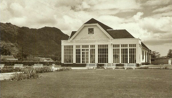
A Closer view of the Old Quatre Bornes Town Hall – 1950s
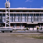
On the left side we can still see the Old Train Station which has now been demolished and converted into the Bus Stand of Quatre Bornes.
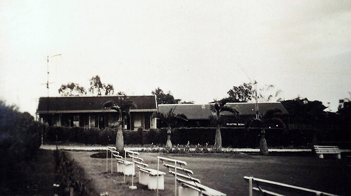
Quatre Bornes Old Train Station from Municipal Garden – Photo: Migela / Courtesy: Michel G. Langlois
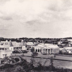
The sugar cane area we can see in the foreground now houses the George Town Building, better known because because of the Gold Crest Hotel. And at the far end we can see the majestic Corps de Guarde Mountain. Notice this small white ‘building’ in the main image above, a little in the middle… now this view below shows how these lands were covered with cane fields without a single house, and how today all of this has been occupied.
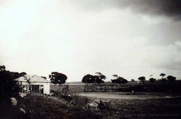
Old Quatre Bornes – Sugar Cane Fields – No Habitation – 1950s (Courtesy: Michel G. Langlois)
Comparison of Quatre Bornes Town Centre – 1960s/2014
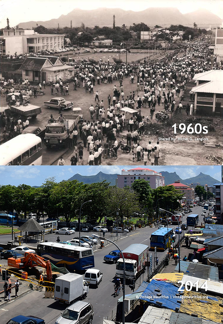
Quatre Bornes – Town Centre – 1960s/2014
