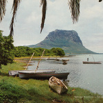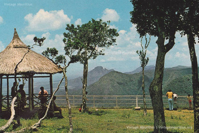
Black River Gorges – Viewpoint – 1970s
The Black River Gorges, now National Park, is in the hilly south-western part of Mauritius. It was proclaimed on June 15, 1994 and is managed by the National Parks and Conservation Service. It covers an area of 67.54 km² including humid upland forest, drier lowland forest and marshy heathland. Facilities for visitors include two information centres, picnic areas and 60 kilometres of trails. There are four field stations in the park which are used for research.
The park protects most of the island’s remaining rainforest although much of this has been degraded by introduced plants such as Chinese guava and privet and animals such as rusa deer and wild pigs. Several areas have been fenced off and invasive species have been eradicated from them to preserve native wildlife. Many endemic plants and animals still occur in the park including the Mauritian flying fox and all of the island’s endemic birds: Mauritius kestrel, pink pigeon, Mauritius parakeet, Mauritius cuckoo-shrike, Mauritius bulbul, Mauritius olive white-eye, Mauritius grey white-eye and Mauritius fody.
Whilst the park in itself is a very adventurous trip, there is also the View Point which is located (click here) on the upper roads of Chamarel and offers a very scenic view over the Gorges and its greenery. The place somehow from the 1970s was more or less a very family picnic area but today it is more of a commercial tourist area with tourist ‘shops’ quite a lot there, and of course, the place has been modernised from what is displayed above.