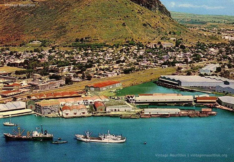
Port Louis – Harbour Aerial View – Caudan Basin – Caudan Waterfront – Railways – early 1970s
Seeing Port Louis and the Harbour during the late 1960s or early 1970s gives us a glimpse of how the docks were structured and we can also see how close those big ships were. It looks like the railways were recently dismantled and the old station and hangar still accessible. The train station was still well visible as well as the remains of the midland line.
If we take a look at this same spot in 2014, we will certainly notice a lot of changes and development. The Caudan Basin with the buildings of the docks have all been replaced by the Caudan Waterfront building, more of the tourist entertainment type than marine related. Some hotels and other tall buildings have also been built and the motorway was yet freshly constructed as well. We can see the Blyth Brothers building that has been preserved even today, but not the rest. The Train Hangar for embarking and disembarking of goods is now a car park for the Ireland Blyth Ltd (IBL).
Port Louis has changed. Mauritius has changed.
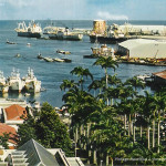
Below we can see alternative views around Port Louis and the Harbour


Related Posts
 Port Louis Harbour and Waterfront – 1970s
 Mauritius during the 1970s – Place D’Armes, The Market and the Harbour!
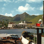 Port Louis – The Harbour viewed from the Docks – 1970s
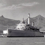 Port Louis – The HMS Intrepid Warship in the Harbour – 1970s
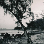 Port Louis – Cassis – Bain des Dames – 1960s
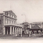 Port Louis – The Municipal Theatre during the Colonial Times – 1905