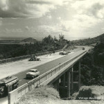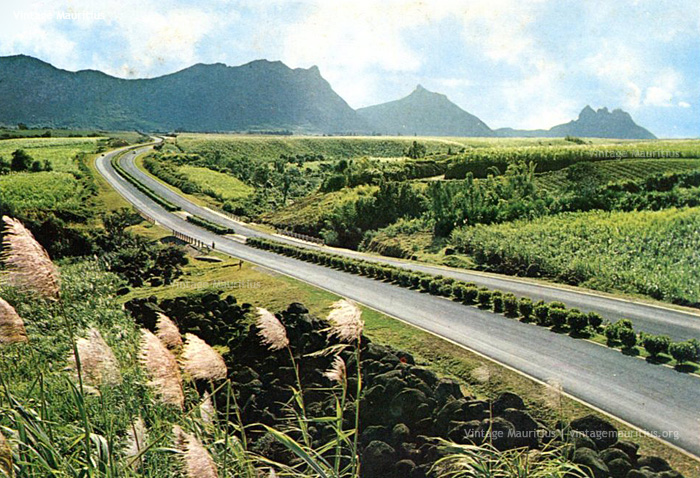
M1 Motorway – St Jean – Ebene – Reduit – Mauritius – 1970s
Built around 1960, the Motorway stretches from Plaisance Airport to Grand Bay with a total distance of approximately 65 Kms, covering the different inland regions of the island from South to North and vice versa. With time, and due to both an increase in the population and motorized vehicles on our roads, the motorway knew some amendments in terms of width and new routes. In 2012-2014, the motorway was enlarged from a two-lane dual-carriage to a three-lane to help reduce the serious congestion issues that were affecting several parts of the island, mainly at the entrance of Port Louis, at the entrance of Ebene, and at Phoenix.
Additionally new road maps have been added helping to alleviate the traffic to Port Louis, namely, the Terre Rouge-Verdun Link Road. Based on a recent statistics, it is observed that these new roads have helped reduce the congestion issues by 30% towards and away from Port Louis. Back in the 1970s, we also notice that the Motorway did not have any road markings, which all to all didn’t cause any issues, but if we imagine today’s traffic this way, that would certainly be a no possibility.
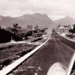
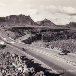
Some more images of the Motorway back then