
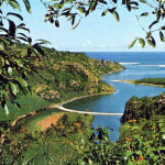
Baie du Cap – Macondé – Viewed from La Prairie – 1950s
During the early french settlement on the island in 1721 (even though the first claim of possession of the island was in 1715), there wasn’t any interior roads. All communications were done only by sea round the island in either directions. The first settlements were established at these two places only; Port Louis (North-West) and Vieux Grand Port (South-East), but later on expanded to different regions of the island. All accesses to other places on the island via the inland method had to be achieved through small paths or through forests, hills and mountains. Little by little, through deforestation, routes were created, and the first roads were that of Moka and Pamplemousses by Mahé de La Bourdonnais.
From Port Louis to Grand Port or Mahebourg, a path was the only access, and this too had to be covered by going through Moka, Camp de Masque and ‘Trois Ilots’. It is under the British occupancy and under the Governorship of Sir Robert Farquar that the ‘Royal Road’ as we know of today got created but ended at Curepipe firstly. Governor Lowry Cole continued the stretch till Mahebourg.
Among other roads, one was created to cover all round the island by the coast line, but however faced a discontinuation line at Baie Du Cap since it was difficult to get around the mountain. That was of course before the path was created through the mountain.
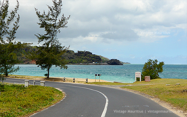
Macondé viewed from La Prairie – 2014
This spot was named Macondé and the name originates from the slaves who occupied the area coming from Africa/Mozambique and most probably working on the estate of Choisy, and Macondé, from ‘Mat Condé’, was one of the cast of slaves bearing high hair style (Haute Coiffure). Today Macondé, together with the surrounding coastal roads, is a very scenic place where anyone would enjoy the scape by climbing up this narrow stairs to the district boundary ‘marker’ dating from 1878.

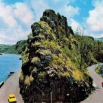
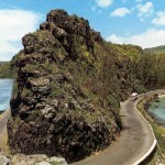
Baie du Cap – Macondé – District Boundary – 2014
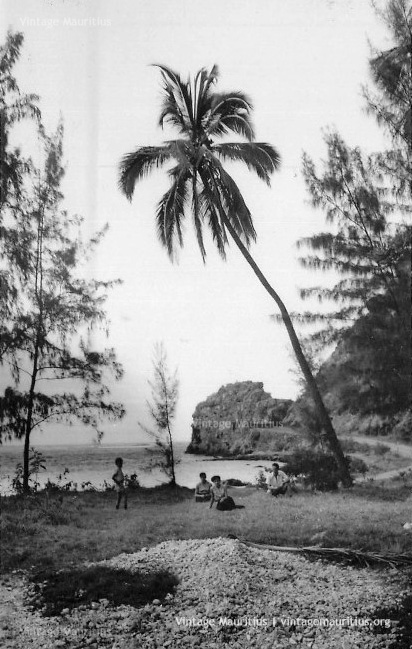
Family At Macondé – Choisy – 1950s
Click here to locate the place on Google Maps

Pingback: Flaunt Your Frenchness Tip #43 | Flaunt your Frenchness